Solutions
High Accuracy Mapping
Earth Graphics’ High Accuracy Mapping solution will provide the highest level of detail in order to suit your project’s needs. Our team of professionals use aircraft based aerial mapping systems equipped with advanced digital cameras and sensors.
Small Project Mapping (1” = 200’ to 1” = 1,000’)
Earth Graphics’ small scale maps will provide detailed topographic and planimetric information for projects that cover large areas of land. These maps help planners and engineers make decisions, analyze terrain, and do cost estimates for large projects.
Large Scale Mapping (1” = 20’ to 1” = 100’)
Earth Graphics’ Large Scale Mapping solution will provide detailed maps for planning construction and development on design projects. An advantage of these maps is that they can show a greater level of detail for your design.
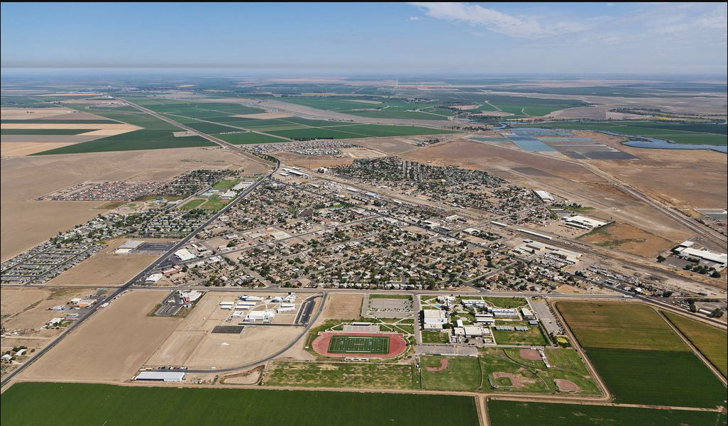
Land Development Mapping
Our Land Development Mapping solution will provide land developers and construction managers with detailed maps for their land projects. These graphics help planners with decision making.
Transportation Mapping
Transportation Mapping provides transportation coordinators with detailed maps of roads, railways, and other routes. Remote sensing can be used in conjunction with high resolution imagery to map topography of roadways, record and display traffic aides such as lines, signs, curbs, and more, and provide data for future transportation system planning.
Environmental Mapping
Earth Graphics’ Environmental Mapping solution will provide detailed topographic maps, image-based maps, and thematic maps of an environment in a geographical area. These graphics provide crucial information to environmental consultants, university researchers, conservation districts, non-governmental organizations, Federal and local government agencies, and companies requiring an Environmental Impact Statement (EIS).
Corridor Mapping
Earth Graphics’ Corridor Planning solution will provide maps and preliminary planning support for the construction of new corridors. These detailed graphics will help planners determine a preferred route as well as alternate routes to consider.
Transmission Line Mapping
Our Transmission Line Mapping solution will provide detailed maps of transmission lines including topography, vegetation, structures, and power lines. These graphics provide public utilities with vital information about their infrastructure in order to comply with regulatory agencies. Aerial mapping and remote sensing provides our clients with lidar, photogrammetry, orthophotography, 3D oblique images, and PLS-CADD documentation.
Volumetric Mapping
Volumetric Mapping will provide detailed maps of a mine or land development site’s stockpile volume. These graphics offer mine operators, landfill managers, and land developers with stockpile volume metrics to determine the amount of material required to restore topography, calculating future landfill capacity, and stockpile auditing.
Utility Infrastructure Mapping
The Utility Infrastructure Mapping solution creates detailed maps of water ways, power lines, and roads. These graphical representations help managers plan and make important decisions at public utilities, construction site developments, and transportation projects.
Land Use Mapping
Land Use Mapping provides detailed maps of an area of land. These graphics will help land developers, regulatory agencies, and environmental consultants when making decisions and planning for future projects. It can also be used for study by experts or in educational settings.
Forestry & Agricultural Mapping
Earth Graphics’ Forestry & Agricultural Mapping solution will provide detailed maps of forests, farms, and other agricultural areas. These graphics will help farmers, National Park recreation services, loggers, and environmental regulators plan and make smarter decisions.