About Earth Graphics Inc.

Earth Graphics is an aerial mapping and remote sensing company that has provided professional mapping services to private and government clients for almost 30 years. Founded by George W Dorman in 1985, Earth Graphics has recently partnered with highly experienced land surveyor Chris Nelson. Chris spent several years taking part in the large and small scale mapping projects, Chris, also a team member and deployed on NASA’s ongoing survey of Antarctica, and has vast expertise in mapping and remote sensing. He also runs a successful and respected land surveying firm, Chris Nelson & Associates Inc., which is based in Los Angeles, California.
Earth Graphics is one of the most respected and experienced geospatial data collection and processing companies in California. Our team of skilled professionals have worked with many private sector companies both large and small. They also work closely with federal, state, and local government agencies to assist in project planning, infrastructure maintenance, and to ensure compliance with regulations. As an industry leader, Earth Graphics has a strong reputation of producing high quality digital maps and graphics for a diverse group of clients.
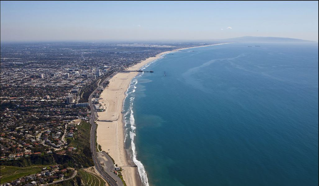
The professional staff of Earth Graphics are proficient at using with high end imaging equipment, digital recording systems, and well maintained aircraft necessary to carry out geospatial reconnaissance over areas of land. Some of our deliverables include detailed maps and graphics such as aerial photography, elevation models, topographic maps, planimetric maps, Digital Terrain Models (DTM), digital orthophotography, Geographic Information Systems (GIS), remote sensing images, oblique aerial images, parcel maps, oblique aerial images, lidar aerial maps, aerial photographs, photogrammetric maps, digital aerial triangulation, and more. If your company or government agency requires accurate images to analyze an area of land, our geospatial services will provide you with the data your project needs.
Let our team of aerial mapping professionals provide you with reliable solutions for a variety of projects including high accuracy mapping, small project mapping, large development mapping, transportation mapping, environmental mapping, corridor mapping, transmission line mapping, volumetric mapping, utility infrastructure mapping, land use mapping, forestry mapping, and agricultural mapping. Our maps and graphics provide detailed information that planners, project managers, and regulators use to make decisions.
For nearly 30 years, Earth Graphics has served numerous markets and industries including land development, construction, transportation, environmental management, energy providers, utility companies, landfills, mining operations, and forestry operations. We proudly serve the private sector as well as Federal, State, and Local government agencies with accurate mapping and digital imaging services.
