Services
Earth Graphics is an industry leader for geospatial solutions in the state of California. Below you will find a number of the services we offer. We would be happy to discuss with you at your convenience. Please call us at the number listed on our website or fill out one of our contact forms and we’ll get back to you as soon as we can.
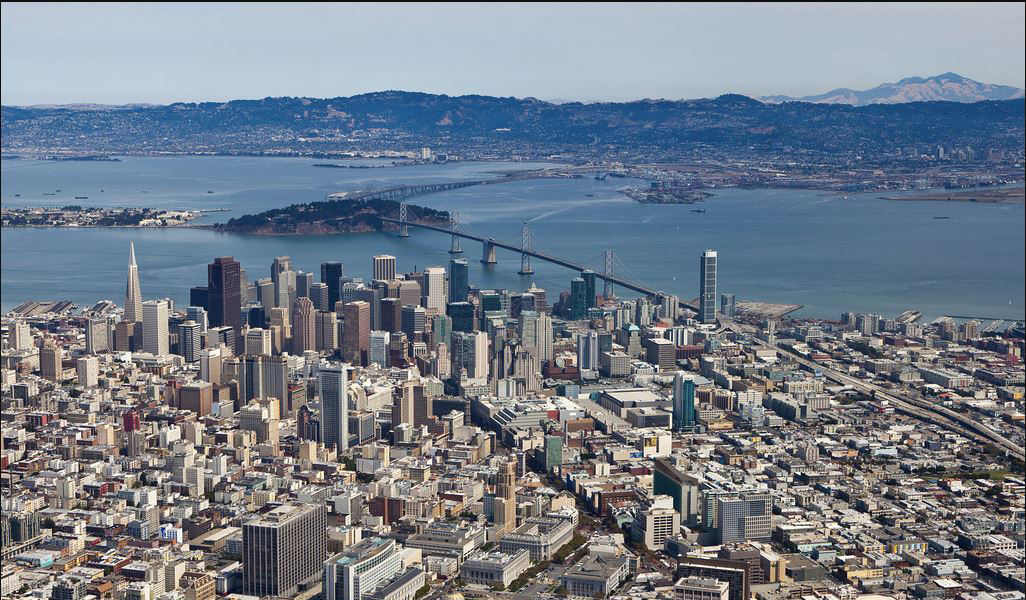
Aerial Mapping
We specialize in aerial mapping and photogrammetry. Our large format cameras are geometrically calibrated to provide technically professional images, resulting in accurate maps that can document both natural and cultural features of a landscape. Earth Graphics employs experienced flight crews and a staff of analysts to ensure the perfect weather, timing, and altitude when conducting a survey and a thorough quality assurance process before a map leaves our desks.
Topographic Maps
Earth Graphics analyzes aerial photography and remote sensing data such as lidar to determine topographic information and required elevation data. We use a combination of software and expert judgment to offer our clients the most accurate topographic maps in an efficient manner.
Planimetric Maps
Especially useful for mapping urban and suburban areas, our planimetric mapping service captures both natural and manmade features, defining driveways, curbs, water drains, signs, fences, trails, road edges, utility poles, access covers, and more. We can then superimpose the planimetry on top of aerial photography. One popular use of this service is to match current planimetry with older photography to determine any recent changes, although it has numerous other applications.
Remote Sensing
We have almost thirty years of experience in both passive and active remote sensing technologies. Additionally, our advanced lidar equipment is capable of providing fast and accurate data that we use to create professional quality maps.
Digital Orthophotography
Orthophotography refers to aerial photographs that have been adjusted to fit a terrain model of the same limits. Earth Graphics combines high quality imaging equipment with skilled staff who ensure flawless imagery, horizontal and vertical corrections, and radiometric balance for good image blending.
Digital Terrain Models (DTM)
We are skilled in creating digital terrain models that represent the bare ground surface of a terrain. These can be most useful for land-use studies and flood and drainage modeling.
Lidar Aerial Mapping
Lidar is a very most accurate remote sensing technology for mapping purposes and consists of laser targeting and light reflection analysis that can be useful on its own or as a supplement to aerial photographs. Earth Graphics collects and utilizes lidar data to help determine exact heights of topographical features.
Geographic Information Systems (GIS)
Take advantage of Earth Graphics’ advanced Geographic Information Systems, or GIS, when you need to collect and analyze geographical data. We keep track of all the latest geospatial imaging technology and are continuously at the forefront of mapping processes and methods, all to provide you with the best aerial mapping surveys possible.
Aerial Photography
High resolution aerial photography is a vital element of modern mapping. Earth Graphics has the expertise and the equipment to take detailed photography from the air during optimal environmental conditions, consistently providing our clients with the highest quality imagery.
Parcel Mapping
Parcel maps provide detailed mapping data for small areas of terrain, usually for planning purposes. We can provide accurate parcel maps for any required application. We work with private organizations as well as local and state governments.
Oblique Aerial Imagery
Earth Graphics can provide professional quality oblique aerial photography for your project. Our large format cameras provide more accuracy and depth than traditional photographs. One use of oblique aerial imagery is pictometry, which allows for a richer analysis of geospatial objects.
Photogrammetric Mapping
Using traditional photography and remote sensing technology side by side, Earth Graphics can put together complex maps that take into account the exact positions of all objects on the terrain. With high accuracy and efficiency, we help our clients to make the best possible analysis and planning decisions.
Digital Aerial Triangulation
By using aerial triangulation we are able to use less ground surveyed points to compile map information.