Markets
Land Development
Land developers depend on accurate maps and statistics to manage land development projects on areas of land. Earth Graphics specializes in providing digital graphics and data that planners can use to make decisions.
Transportation
Earth Graphics’ geospatial services serve the transportation industry by providing State governments and transportation construction companies with maps and graphics for highways, toll roads, freeways, and other road systems. This information is used to plan road realignments, road widening, better intersections improve on and off ramps, and more.
Environmental
To protect the environment and sensitive areas of land, government agencies, conservationists, and land developers rely on geospatial maps and graphics. Our team of professionals will provide thermal imaging, multispectral imaging, hyperspectral imaging, and aerial photography for environmental impact analysis.
Energy & Utility Companies
Energy and utility companies rely on detailed maps and graphics to maintain the infrastructure of their power lines, water ways, and sewage systems. Earth Graphics serves a variety of energy providers including power plants that use coal, oil, natural gas, solar panels, wind turbines, hydroelectric dams, and nuclear reactors.
Landfills
In order to comply with government regulations and strict reporting schedules, landfill sites rely on information documented in geospatial maps and graphics. Our team of professionals provide landfill operators with all the data they need to make decisions and report to government agencies.
Forestry
Forest management consultants, lumber companies, and National Park services rely on detailed geospatial maps and graphics to manage forests. Earth Graphics uses laser-based lidar systems to gather comprehensive data about a forest.
Mining
Mining companies use geospatial maps and graphics when exploring, extracting ore, closing a mine, and restoring a landscape. Earth Graphics provides digital graphics including aerial imagery, lidar, elevation models, topographic maps, planimetric maps, orthophotography, Geographic Information Systems (GIS), and remote sensing.
Private Sector
Private sector corporations and firms use digital maps and graphics to manage areas of land and plan major projects. Our team of professionals at Earth Graphics will provide a variety of digital maps and data to companies seeking reliable geospatial images and information.
State & Local Governmental Agencies
Earth Graphics provides state and local government agencies with a variety of geospatial maps and digital graphics in order to make decisions, manage areas of land, and establish regulations.
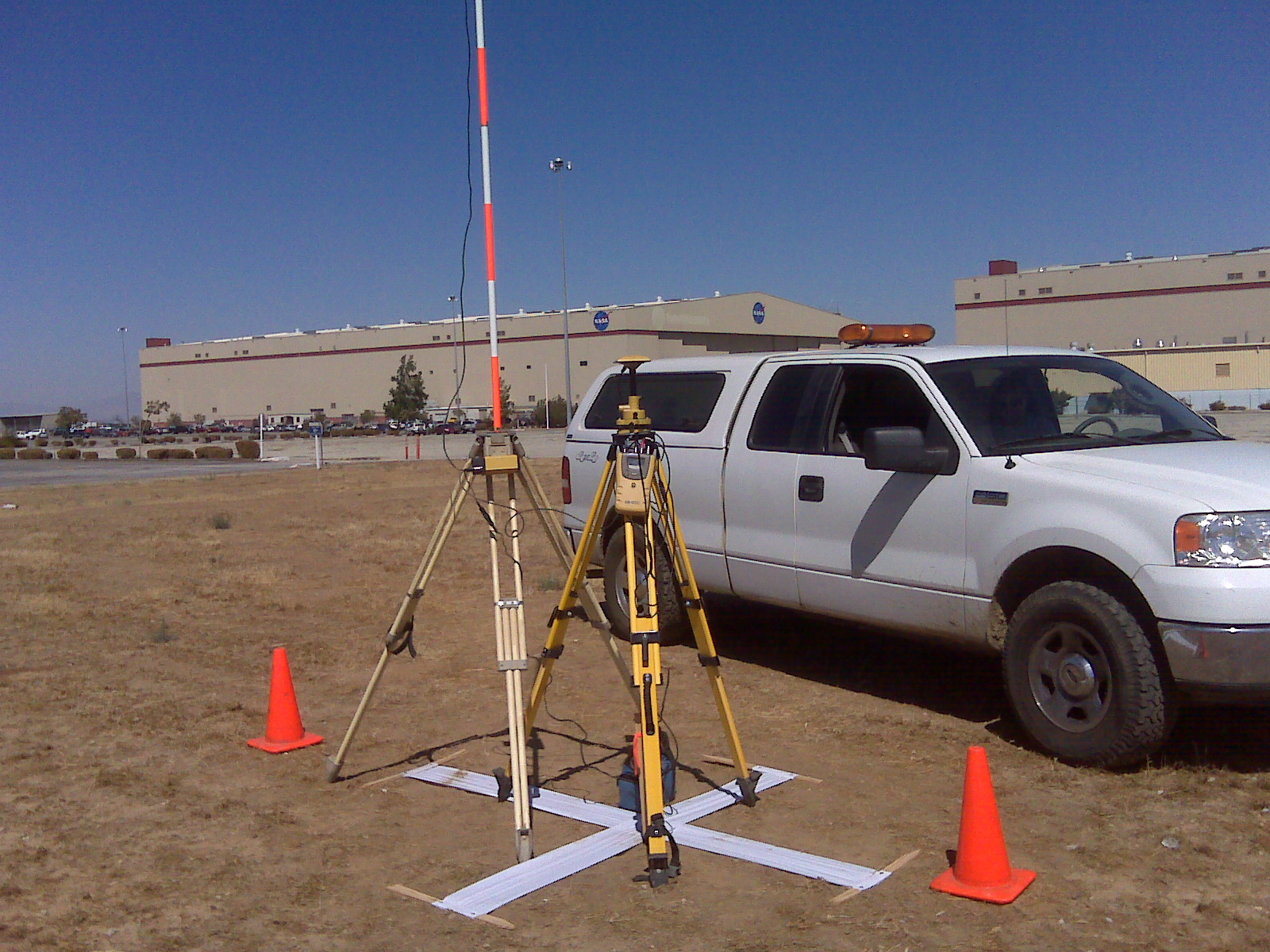
Federal Government
A variety of government agencies including the USGS, NOAA, BOR, Department of Defense, U.S. Navy, Air Force, and Marine Corps rely on detailed maps and graphics of geographical areas. Earth Graphics will provide geospatial mapping services including remote sensing, base maps, environment assessment and monitoring support, emergency response maps, lidar, aerial maps, Enterprise GIS, and more.